Floods. The word alone sends shivers down the spine of many homeowners and city dwellers alike. But fear not, tech-savvy friends, for flood mapping technology has got your back (or your basement, as it were). This innovative technology uses satellite imagery, topographical data, and rainfall patterns to predict and map out flood-prone areas. That’s right, you can now outsmart Mother Nature and prepare yourself accordingly. So grab a cup of tea (or a life jacket, depending on how you feel about floods), and let’s dive into the world of flood mapping technology.
What is Flood Mapping Technology and How Does it Work?
The Science Behind the Scenes
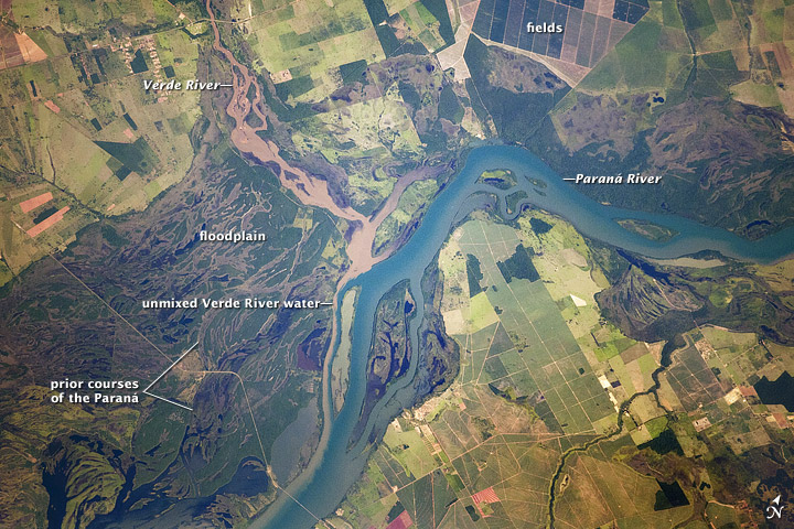
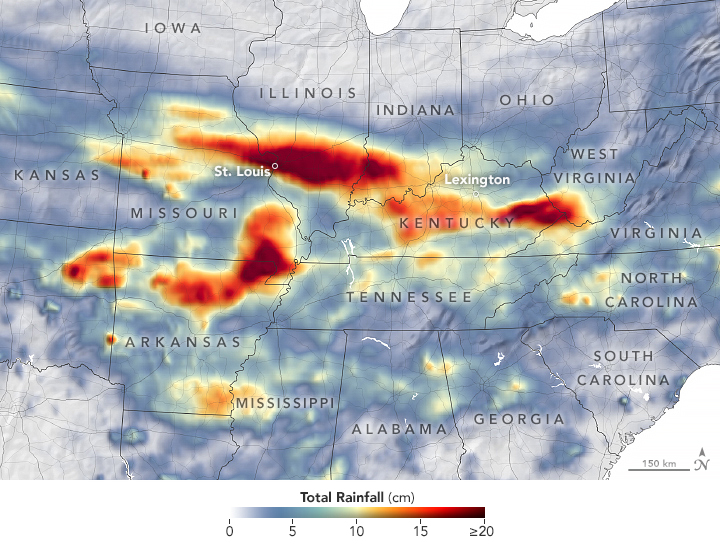
Flood mapping technology uses a combination of satellite imagery, topographical data, and rainfall patterns to create a map of flood-prone areas. This information is then used to predict the likelihood of a flood occurring in a specific location.
The Technology in Action
The way technology works are by employing satellites to take detailed pictures of the earth’s surface. Computer techniques are then used to process these photos in order to identify the topographical aspects of the region. To forecast the possibility of a flood, the computers also use rainfall patterns and other weather-related information.
The Benefits of Flood Mapping Technology
Technology for flood mapping has many advantages. It gives authorities vital data that may be utilized to effectively allocate resources and evacuate individuals from risk areas. Additionally, it offers property owners the chance to take preventative action to safeguard their residences and places of business.
How to Make the Most of Flood Mapping Technology
Stay Informed
Check the flood maps and alerts issued by your local authority frequently to stay informed. By doing so, you’ll be able to stay current on information and make any necessary preparations.
Prepare Your Home or Business
If you live in a flood-prone area, there are a number of steps you can take to prepare your home or business. This includes installing flood barriers, elevating electrical systems, and having sandbags on hand.

Have a Plan
It’s important to have an evacuation plan in place in case of a flood. This plan should include an escape route, a designated meeting place, and an emergency kit.
Flood mapping technology is a game-changer for anyone who lives in or owns property in a flood-prone area. By using satellite imagery, topographical data, and rainfall patterns, this innovative technology provides people with the information they need to stay safe during a flood. So embrace your inner tech-savvy self and stay ahead of the next big flood with flood mapping technology. Remember, it’s always better to be safe than sorry (and potentially submerged).
